Exploring Map Evidence to Explain the Impacts of the Palu Earthquake and Tsunami
How does the geographical setting of a place influence the spatial variation of impacts of hazards?
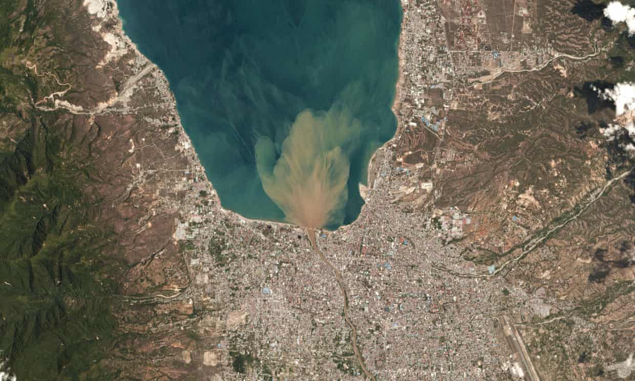
Earthquakes produce both primary and secondary hazards. Primary hazards inlcude shaking ground and collapsing buildings. Secondary hazards include landslides, fires and tsunamis. The magnitude of an earthquake and its depth highly influence the scale of the impacts. A high magnitude earthquake at a shllow depth will have greatest impact. However, other factors are important. These include the proximity of high density populations to the earthquake, the type of rock and exposure a population has to its associated hazards, as well as the vulnerability of the population and its resilience.
Task 1 - Exploring Local Geographical Settings
Referring to the following satellite image of Palu discuss how local geographical factors can determine the impacts of an erathquake and tsunami

Task 2 - Using Map Evidence
Using map evidence explain why the impacts of a tsunami may vary in a relatively small geographical region
